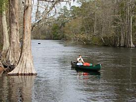
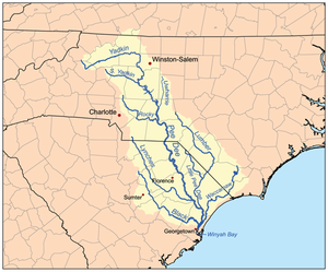
The Lumber River
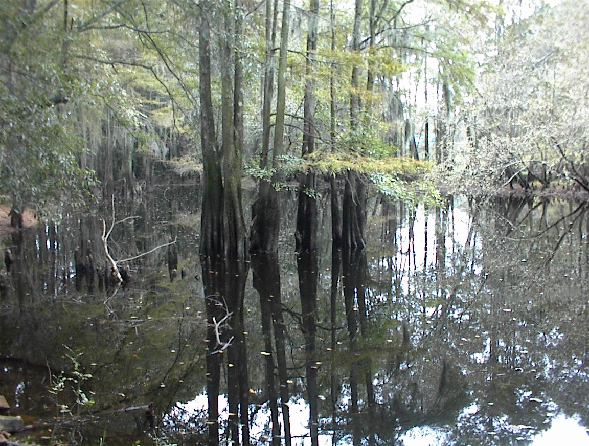
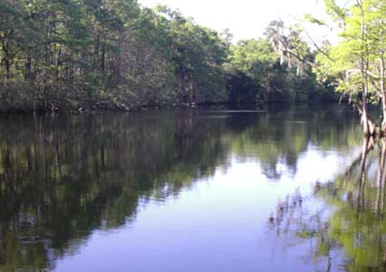
- is a blackwater river
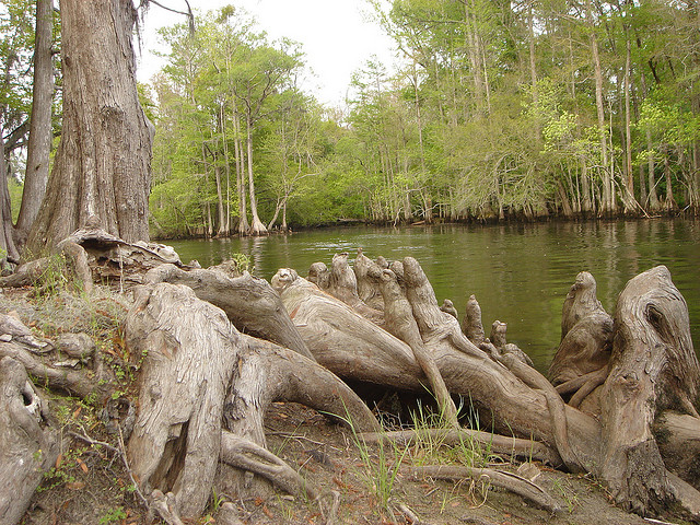
- has a floodplain of largely oak-cypress-gum swamp forest
- runs for 115 river miles to the NC-SC boundary at Fair Bluff, NC
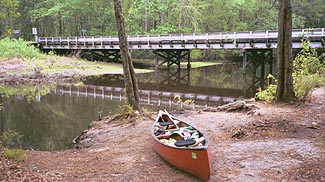
- was made part of the NC Trails System in 1978 as the Lumber River Canoe Trail
- was added to the NC Natural and Scenic River System in 1989
- was added to the National Wild and Scenic River System (NWSRS) in 1996 (one of four in NC - the only one of which is a blackwater river)
- 81 river miles are designated scenic and/or recreational in the NWSRS
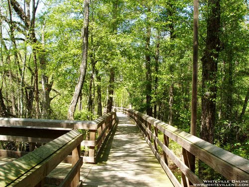
- is home to the Lumber River State Park, for which there are two access points by road: Chalk Banks and Princess Ann Landing. There are also several canoe landing/camping sites
- flows into the Little Pee Dee River just past mile 115
http://www.blroberts.org/lumber/facts.html